The Latest Updates, Perspectives and Stories From MatrixSpace

MatrixSpace was selected as one of 10 finalists for the DIU's Low-Cost Sensing challenge for counter drone detection, addressing the lack of affordable scalability in traditional defense sensor systems.

DroneSense customers can now seamlessly conduct remote operations with comprehensive airspace awareness in a common operating picture with the inclusion of MatrixSpace radar detection intelligence.

The usage of radar for guiding vehicles and protecting people/places is strictly regulated for safety and to ensure reliability across radio spectrums. Your use case dictates how to comply with rules for radionavigation and radiolocation.

Everything we build at MatrixSpace is designed for easy integration and extensibility. It allows us precise control our radar systems with precision, embed them with deep technology features, visualize data for users and orchestrate sensor interconnection. It also allows us to quickly integrate our systems with a broad ecosystem of other applications through open APIs.

MatrixSpace was selected as one of 10 finalists for the DIU's Low-Cost Sensing challenge for counter drone detection, addressing the lack of affordable scalability in traditional defense sensor systems.

DroneSense customers can now seamlessly conduct remote operations with comprehensive airspace awareness in a common operating picture with the inclusion of MatrixSpace radar detection intelligence.

The usage of radar for guiding vehicles and protecting people/places is strictly regulated for safety and to ensure reliability across radio spectrums. Your use case dictates how to comply with rules for radionavigation and radiolocation.

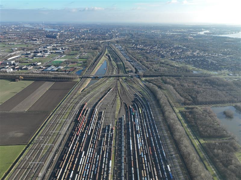
Railyards and rail lines face significant challenges daily—from theft, vandalism, and costly derailments. Technology enables securing their perimeters more effectively while also improve asset inspection practices.

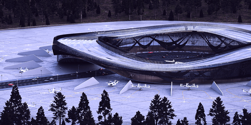
We recently announced a joint venture with Skyway to advance the integration of intelligent air traffic management and uncrewed aircraft detection systems. Skyway develops vertiports and provides advanced solutions for vertiport traffic management and unmanned airspace planning. MatrixSpace provides outdoor sensor solutions leveraging radar technology for use in defense and commercial applications, which addresses this need. The companies’ partnership is intended to support several aspects of enabling practical advanced air mobility (AAM) initiatives in the United States.

The recent New Jersey drone panic has made it clear: people want to know what’s flying in low altitude airspace. Why can’t we provide the level of clarity demanded? What’s needed to make it happen?

While some industry influencers argue DFR operations are best run up to 200 feet above ground under shielded conditions (only), we explore the risks of this practice as well as the benefits of extending operational altitude with airspace sensors.
L3Harris recently collaborated with MatrixSpace to demonstrate how the companies’ novel technologies can be combined to provide a ground-breaking, low-cost solution to detecting, identifying, and tracking drones.
Latest News


Volatus’ BVLOS portfolio into higher-value missions unlocks recurring revenue opportunities in drone-in-a-box, logistics, and enterprise monitoring. Volatus Aerospace Inc. (TSXV: FLT, OTCQB: TAKOF, FSE: ABB.F) (“ Volatus ” or “ the Company ”), a leader in aerial solutions, today announced that Transport Canada has issued a Special Flight Operations Certificate (SFOC) authorizing Volatus to conduct more complex Beyond Visual Line of Sight (BVLOS) operations by authorizing the use of MatrixSpace’s next-generation radar, integrated through Kongsberg Geospatial’s IRIS Terminal platform. Unlike traditional ground-based radar systems, MatrixSpace’s technology is compact, low-power, and able to detect smaller non-cooperative traffic such as other drones. When integrated with Kongsberg’s proven airspace awareness and traffic management software, and supported by Volatus’ remote Operations Control Center, these capabilities make it practical to scale BVLOS operations into applications such as automated drone-in-a-box networks, distributed wide-area monitoring, and autonomous services where continuous, reliable detect-and-avoid is critical.


Transport Canada has issued a Special Flight Operations Certificate (SFOC) to Volatus Aerospace Inc., authorizing the company to conduct beyond visual line of sight (BVLOS) drone operations using MatrixSpace’s radar technology integrated with Kongsberg Geospatial’s IRIS Terminal platform. The certification allows Volatus to use MatrixSpace‘s compact, low-power radar system that can detect smaller aircraft including other drones. The technology is integrated with Kongsberg’s airspace awareness software and operated through Volatus’ remote Operations Control Center.


TORONTO — Volatus Aerospace Inc. has announced that Transport Canada has issued a Special Flight Operations Certificate (SFOC) authorizing Volatus to conduct more complex Beyond Visual Line of Sight (BVLOS) operations by authorizing the use of MatrixSpace’s next-generation radar, integrated through Kongsberg Geospatial’s IRIS Terminal platform. Volatus describes MatrixSpace’s technology as compact, low-power, and able to detect smaller non-cooperative traffic such as other drones. When integrated with Kongsberg’s airspace awareness and traffic management software, and supported by Volatus’ remote Operations Control Center, the capabilities make it practical to scale BVLOS operations into applications such as automated drone-in-a-box networks, distributed wide-area monitoring, and autonomous services according to the company.


Enhances Volatus’ commercialized drone-in-a-box and advanced BVLOS applications by introducing a scalable light weight detect and avoid systems Volatus Aerospace Inc., a leader in aerial solutions, today announced that Transport Canada has issued a Special Flight Operations Certificate (SFOC) authorizing Volatus to conduct more complex Beyond Visual Line of Sight (BVLOS) operations by authorizing the use of MatrixSpace’s next-generation radar, integrated through Kongsberg Geospatial’s IRIS Terminal platform.


Volatus Aerospace has received a Special Flight Operations Certificate (SFOC) from Transport Canada that allows it to conduct more complex Beyond Visual Line of Sight (BVLOS) drone missions using MatrixSpace’s radar technology integrated through Kongsberg Geospatial’s IRIS Terminal platform. “This SFOC builds upon milestones such as Volatus’ approved BVLOS medical delivery operations at Halton Healthcare,” said Glen Lynch, CEO of Volatus Aerospace. “With our partners, we are expanding these capabilities by integrating a lightweight and scalable detect and avoid system.”