The MatrixSpace Difference – A New Chapter in Sensing and Situational Awareness

Small Size, Weight, Power & Cost Changes the Protection Paradigm

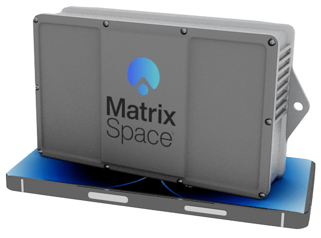
MatrixSpace, a U.S. radar and AI sensing company, has set about re-imagining radar with its MatrixSpace Radar. This compact, high-performance radar changes the paradigm for real-time situational awareness by combining industry leading sensing, AI edge processing and radio frequency (RF) communications into one small (pocket-size), lightweight unit. It brings a new level of digitizing the outdoors into industrial settings. The ease of use and speed we are used to as consumers, taking and sharing of photos for example, is how radar can now be re-imagined for commercial and military use.
Small But Mighty
It’s not uncommon for phased-array radars to weigh about 66 pounds and be larger than a car. Most track objects in three dimensions: range, altitude and direction. The MatrixSpace Radar unit weighs under a pound and runs off a battery, solar panel, or AC power, consuming only 25 watts of power. Simple and easy to use, it can be set up in minutes and its intuitive interface operates quickly without extensive training. MatrixSpace has achieved these breakthroughs using a low-cost architecture, allowing the use of radar in applications that, previously, have never been able to afford it.
Significantly, MatrixSpace Radar provides outdoor surveillance in 4D by adding the time dimension to traditional position and direction sensing for complete spatial awareness. This allows users to know where an object is heading and how fast it’s moving. An array of just three radars provides a complete 360-degree system. The system’s wide field of view averages 120 x 120 degrees, and scales from coverage of small arenas to the length of an entire border by utilizing multiple radars.

Using artificial intelligence, it combines other readily available information from commercial and general aviation to small uncrewed aircraft systems. MatrixSpace Radar works in rain and other poor weather conditions, in day or night.
Also of note, MatrixSpace Radar offers all this functionality at the edge. Unlike systems that bring data from individual sensors and technology back to a central command post for analysis, MatrixSpace Radar resides inside the radar system itself for onboard computing and analysis, bringing back to the end user only the most relevant pieces of intelligence. This means faster data gathering for real-time assessments – critical for security and surveillance deployments.
Flexibility is the Key to Airpower
Even though MatrixSpace Radar can operate independent of the cloud, it can also integrate with a customer’s cloud, as needed. It can fuse data from multiple sensors and provide end users with raw data to process through their own computing resources. It’s an open system, with an intuitive GUI, can be operated through an enterprise API for a direct connection and transfer of the raw data.
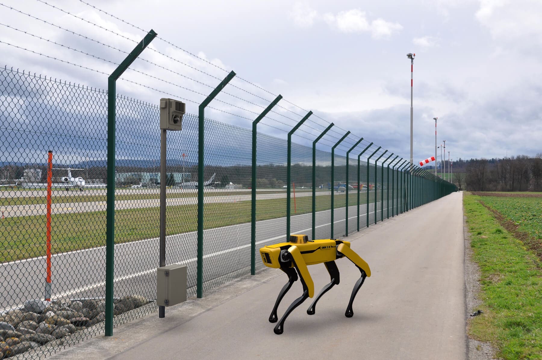
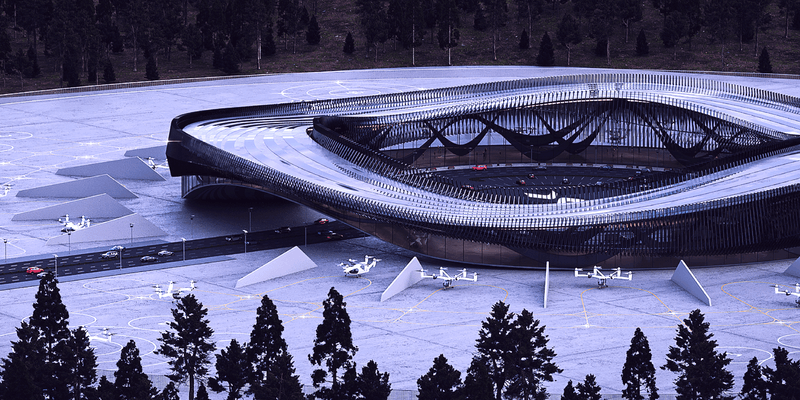
In addition to being easily carried, it can also be attached to autonomous “dogs” (quadruped uncrewed ground vehicles), “birds” (robotic ornithopters) and drones, making it ideal for use in remote and rugged locations. It can also be part of vertiport infrastructure for situational awareness for flight safety and perimeter security, or for use in GPS-denied situations.
The system can be ruggedized for specific environments, including maritime applications. One of the big challenges for large ships with massive radar systems is that they can look hundreds of miles out but are unable to pinpoint objects up close, such as anything immediately underneath or near the ship. Sailors can install a series of MatrixSpace Radars around the ship’s perimeter or individually deploy them to search a specific area. It’s a new use case, a highly efficient and cost-effective solution to manual search and rescue or reconnaissance, previously impossible.

In a military setting, this flexibility allows mobile units to assess their surroundings instantaneously. According to Lori DeMatteis, MatrixSpace’s Chief Growth Officer, “Until now, it wasn’t feasible to connect a radar to smaller vehicles or objects. Most systems were large and heavy, requiring massive amounts of power. Because of the small form factor, we’ve flipped the paradigm. We can attach it to smaller autonomous units, suddenly making it attractive for a whole new host of use cases.”
Keeping It Simple
MatrixSpace’s mission, to re-imagine radar, includes delivering a simple and easy to use solution. Training must be easy – no more than two to three hours – and average field setup should take just 15 to 30 minutes. “We don’t expect people to be experts in radar,” DeMatteis said. “We want anyone to be able to use this advanced technology.”
She continues, “We have big plans to keep enhancing our AI and ML for identification, working with the electric vertical take-off and landing (eVTOL) industry on the ability to communicate by wrapping cities with our radars to enable safe flight and more. We’re working on new adoptions of our technology with organizations here in the U.S. and abroad. We believe we can usher in a whole new way to see the outdoors, in a way previously unheard of.”
The MatrixSpace Radar digitizes the outdoors through its ability to measure the size, location, and movement of objects in time. By shifting reliance from human sensing to a far more detailed recognition of objects and their movements, it provides a whole new level of additional sensing capabilities to end users.
Note: MatrixSpace continues working through required Federal Communications Commission authorizations. The device will be available for sale when FCC authorization is obtained.
Watch Lori DeMatteis discuss MatrixSpace Radar on The Dawn of Drones: https://www.youtube.com/watch?v=MXudu7h462w
Keep Reading

Railyards and rail lines face significant challenges daily—from theft, vandalism, and costly derailments. Technology enables securing their perimeters more effectively while also improve asset inspection practices.

We recently announced a joint venture with Skyway to advance the integration of intelligent air traffic management and uncrewed aircraft detection systems. Skyway develops vertiports and provides advanced solutions for vertiport traffic management and unmanned airspace planning. MatrixSpace provides outdoor sensor solutions leveraging radar technology for use in defense and commercial applications, which addresses this need. The companies’ partnership is intended to support several aspects of enabling practical advanced air mobility (AAM) initiatives in the United States.

The recent New Jersey drone panic has made it clear: people want to know what’s flying in low altitude airspace. Why can’t we provide the level of clarity demanded? What’s needed to make it happen?